Pocket-Greenhaven
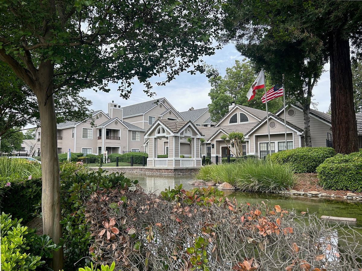
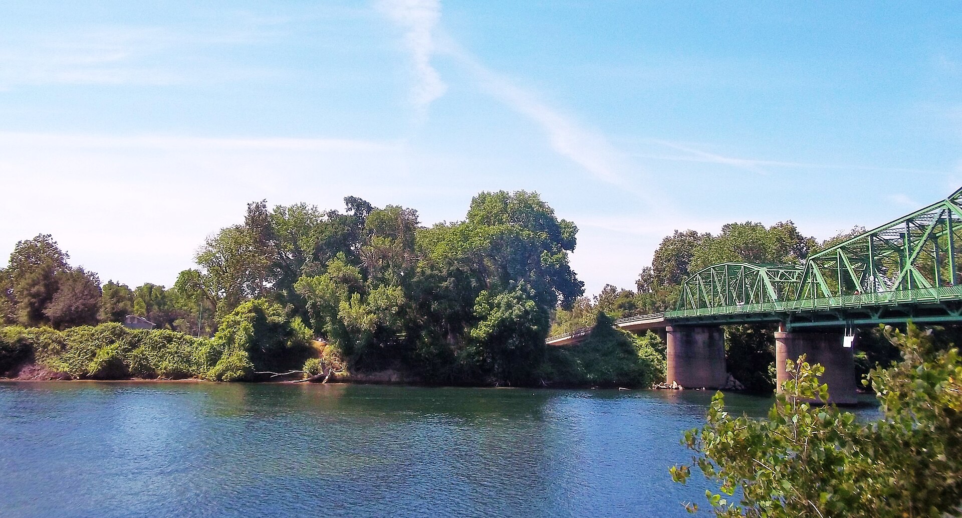
The Pocket is a neighborhood cradled in a bend of the Sacramento River, about five miles south of downtown, with a former clay pit turned into Lake Greenhaven and a landmark water tower.

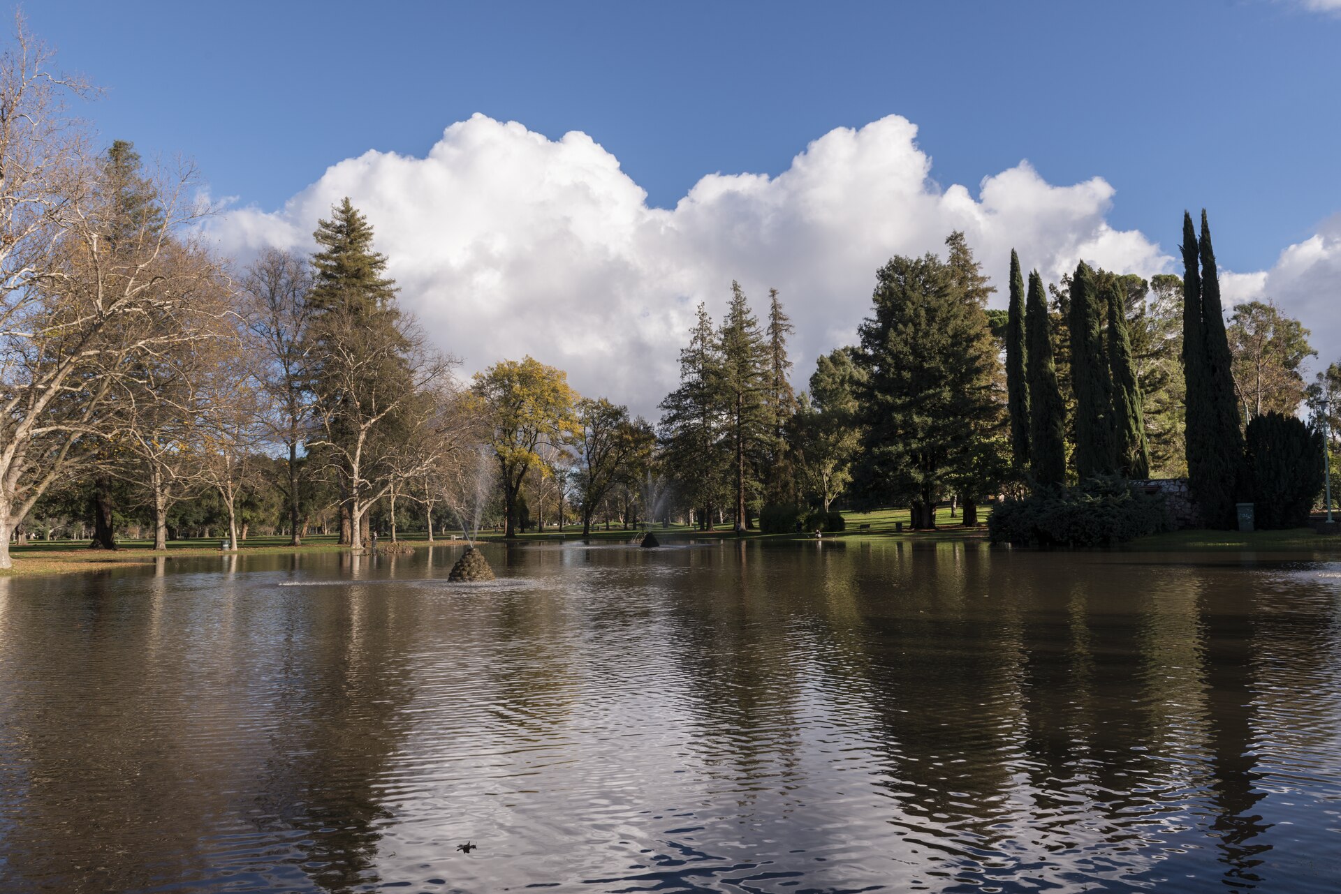
Discover Pocket-Greenhaven
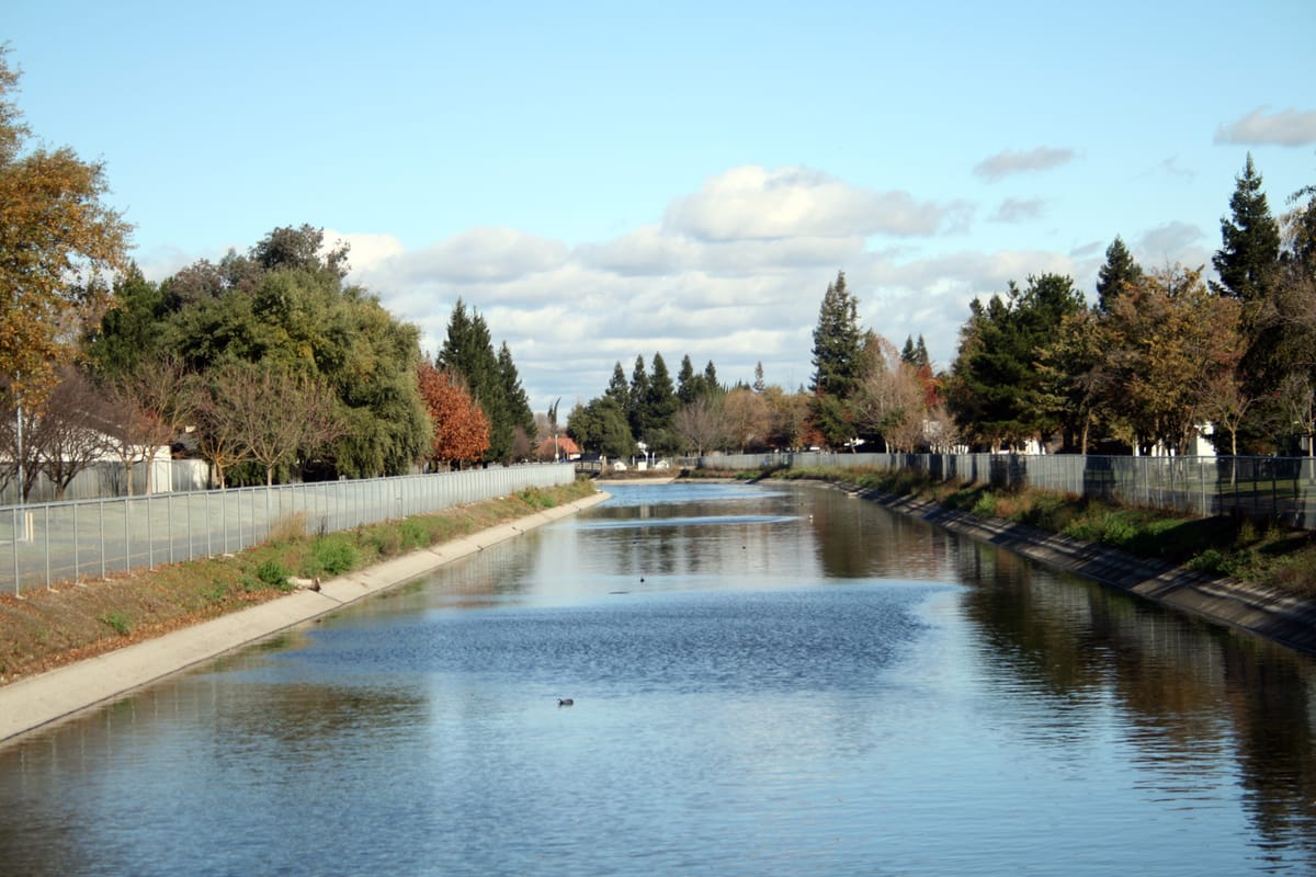
Pocket-Greenhaven lies five miles south of downtown, bordered by Interstate 5 on the east and by a semicircular bend of the Sacramento River on the other three sides. It has two private lakes and 18 public parks. (Wikipedia)
Before settlement the bend was riparian forest. The Nisenan, or Southern Maidu, used it in summer to hunt and fish. It covers 6.8 square miles of fertile river soil, and a former clay pit became Lake Greenhaven. (Wikipedia)
Drivers entering from the south on Interstate 5 pass a water tower at the city’s southern edge. It once said “City of Trees” and was repainted in 2017 to say “America’s Farm-to-Fork Capital”; after a petition, both slogans went on it. (Wikipedia) (Wikipedia)


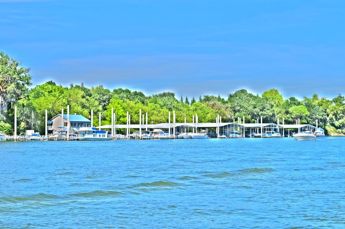






Sacramento magic: History, neighbors and good things to do in Sacramento
→
Inquiry
We read everything
LET’S COLLAB. Run a business in Sacramento? Want to be listed or featured, spotted something to fix, or want to bring Made In to your own town? Tell us.