Natomas
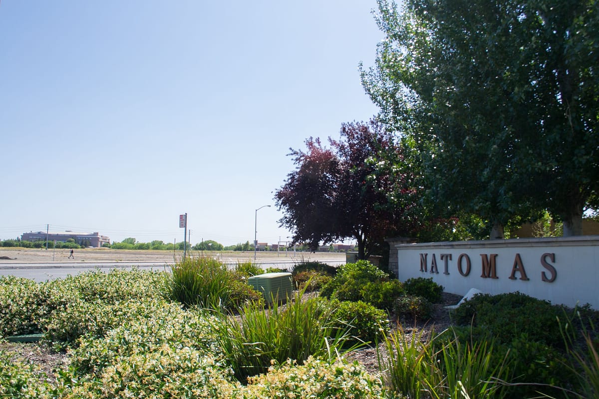
Natomas, in the northwest of the city, was farmland on the floodplain until the 1990s. It is now neighborhoods, office parks, bike trails, a regional park and hotels by the airport.

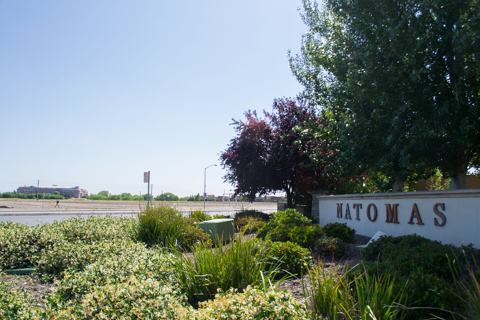
Discover Natomas
Natomas is divided by Interstate 80 into North and South Natomas. North Natomas was agricultural floodplain until it began growing quickly in the mid-1990s. South Natomas was built up mostly as residential subdivisions from the 1950s to the 1980s. (Wikipedia)
ARCO Arena, later called Sleep Train Arena, stood in Natomas and was the Sacramento Kings’ home until the team moved downtown to Golden 1 Center. (Wikipedia)
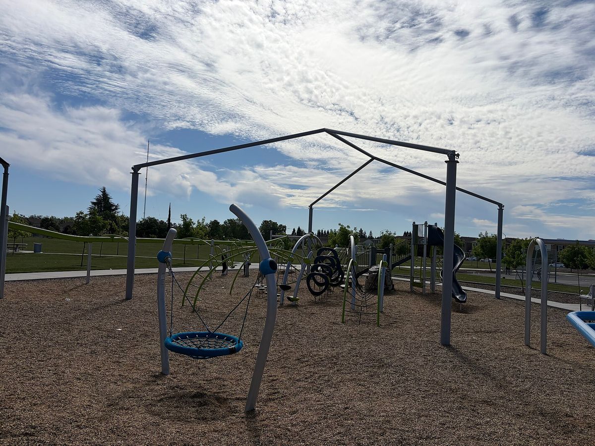
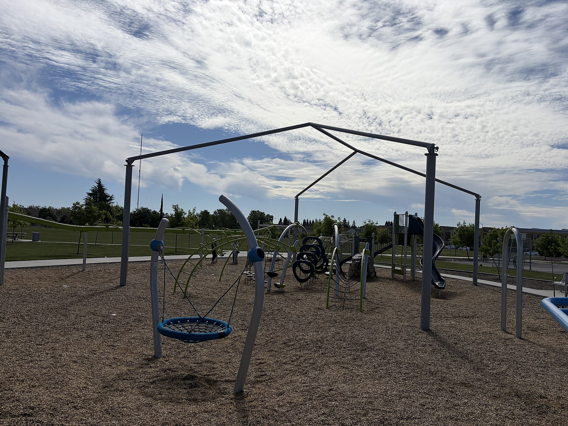
North Natomas Regional Park has playgrounds, ball fields, dog parks, walking paths and a permanent farmers’ market structure, and the Natomas Basin Conservancy manages habitat land for protected species. (Wikipedia)
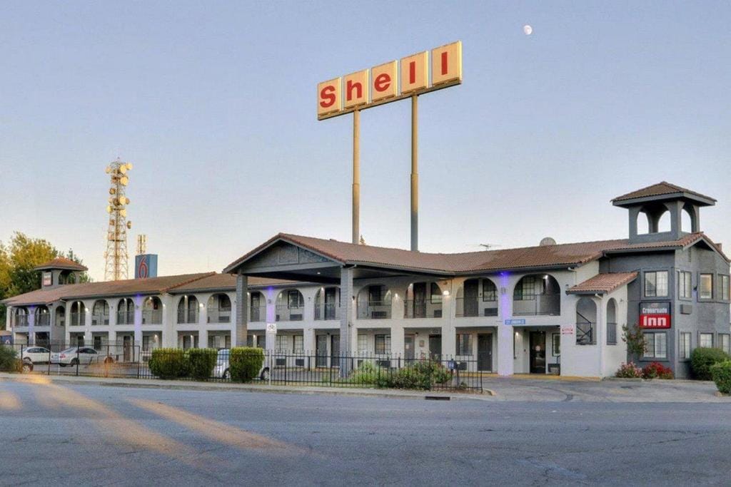
Because Natomas is the closest part of the city to Sacramento International Airport, many of the area’s hotels are here. (Wikipedia)




Sacramento magic: History, neighbors and good things to do in Sacramento
→
Inquiry
We read everything
LET’S COLLAB. Run a business in Sacramento? Want to be listed or featured, spotted something to fix, or want to bring Made In to your own town? Tell us.